Web Geo-Collaborative Map Sharing Application Development for MSP
Explore Our Portfolio: Showcasing Success Stories in GIS & Web GIS Innovation and Development.


Portfolio
Web Geo-Collaborative Map Sharing App Project for MSP: Empowering Collaborative Geospatial Solutions by Global GeoSoft.
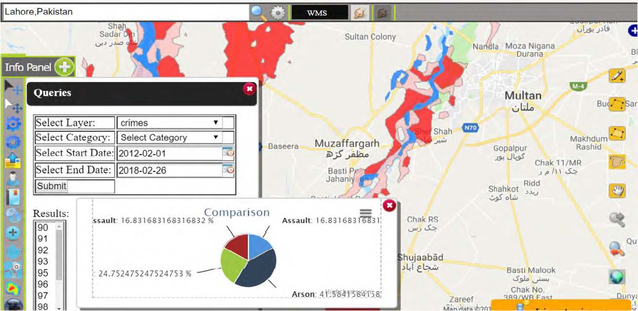
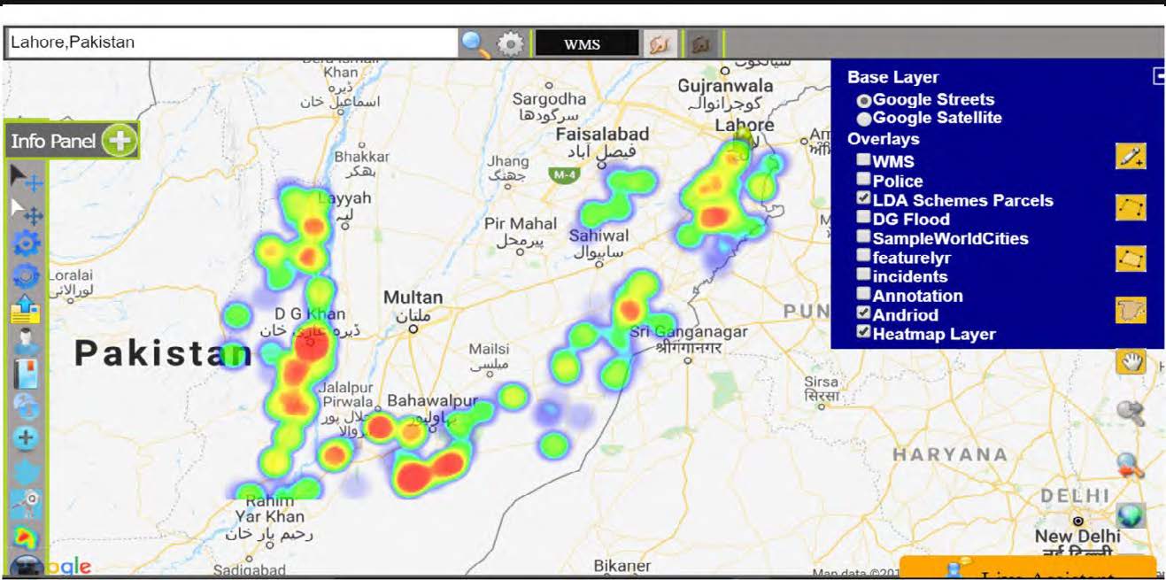
Global GeoSoft’s Web Geo-Collaborative Map Sharing App Project for the Ministry of Public Security (MSP) Quebec, Canada, provides a sophisticated platform for enhanced geospatial collaboration and data sharing. Leveraging advanced Web GIS technologies, this project enables seamless integration and distribution of critical spatial information among security and emergency management teams.
The Web Geo-Collaborative Map Sharing App features intuitive access to maps and data, fostering effective coordination and decision-making. With secure access controls and user-friendly interfaces, the Web Geo-Collaborative Map Sharing App supports the MSP in streamlining operations and improving public safety outcomes.
- Clients Detail
- Sevices Provide
- Project Timeline
- Location
- Ministry of Public Security (MSP)
- Customized Web GIS Map Sharing solutions
- 90 days for Completions
- Quebec, Canada
Projects Detail
Global GeoSoft has delivered Web Geo-Collaborative Map Sharing App, tailored GIS solutions, including advanced data analysis and mapping tools, to support MSP in achieving greater operational efficiency, improved situational awareness, and more effective resource allocation.

Through our expertise in GIS and customized solutions Web Geo-Collaborative Map Sharing App, Global GeoSoft has enabled the Ministry of Public Security to enhance public safety measures and operational capabilities, contributing to the overall effectiveness of their security operations in Quebec.

What is E-Meeting System
The GIS-Enabled Real-time Integrated E-meeting System complements the Web Geo-Collaborative Map Sharing App by providing a virtual space where stakeholders can converge to discuss and plan emergency response strategies. This system allows for real-time communication, enabling participants from various government agencies, NGOs, and community organizations to share critical information and resources quickly. By fostering an environment of open dialogue, the platform ensures that all voices are heard, leading to more effective and inclusive decision-making.
The integration of real-time data feeds, such as weather alerts and disaster impact assessments, enhances the collaborative efforts, allowing teams to adapt their strategies swiftly as new information arises.
Furthermore, the combination of GIS technology with public participation models promotes transparency and accountability in emergency management. Community members can engage with the mapping platform, contribute local knowledge, and report on the conditions in their neighborhoods. This grassroots input is invaluable, as local residents often have insights that are not captured by official data sources.
By incorporating these perspectives, the GIS-Enabled Real-time Integrated E-meeting System and the Web Geo-Collaborative Map Sharing App not only improve situational awareness but also empower communities to take an active role in their safety and resilience. Together, these innovative solutions create a robust framework for disaster preparedness and response, ultimately leading to more resilient communities that are better equipped to handle emergencies.
In addition to enhancing collaboration and community involvement, the GIS-Enabled Real-time Integrated E-meeting System and the Web Geo-Collaborative Map Sharing App provide a valuable platform for continuous learning and adaptation in emergency management. By analyzing the data collected during drills, real incidents, and community feedback, stakeholders can identify strengths and weaknesses in their response strategies. This iterative process ensures that emergency preparedness plans evolve based on real-world experiences and emerging technologies.
The platform also facilitates post-disaster assessments, allowing teams to evaluate the effectiveness of their response and refine their strategies for future events. Ultimately, by fostering a culture of learning and innovation, these systems contribute to building more resilient communities that are prepared not just to respond to disasters but also to thrive in the face of adversity.
GIS Application Development Consultation
At Global GeoSoft Canada, our GIS Application Development Consultation offers expert guidance to help you design and implement effective geospatial solutions. Our consultation services are tailored to address your specific needs, providing insights into the best practices and technologies for developing robust GIS applications. Whether you are looking to optimize existing systems or create new ones, our team will work closely with you to ensure that your GIS projects are aligned with your goals and deliver the desired results. Benefit from our deep expertise and strategic approach to enhance your geospatial capabilities and drive success.
Our Other Project
- Collaborative Crime Mapping Sol.
- Geo-Collaborative Epidemic Control
- Disaster Response and Management
- GIS-Driven Urban Expansion
- GIS-Enhanced Cooperative Work
- Railways Assets Mgmt. System
