Disaster Response and Management System
Explore Our Portfolio: Showcasing Success Stories in GIS & Web GIS Innovation and Development.


Portfolio
Disaster Response and Management System
The Disaster Response and Management project was a significant effort by Global GeoSoft to enhance FEMA’s capabilities in responding to natural disasters. The project involved the creation of a comprehensive GIS platform that provided real-time situational awareness and facilitated efficient disaster management.
- Clients Detail
- Sevices Provide
- Project Timeline
- Location
- Federal Emergency Management Agency (FEMA)
- GIS Consulting Services
- 90 days for Completions
- USA
Projects Detail
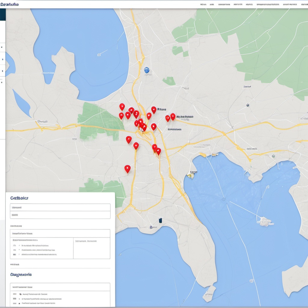
The platform integrated various data sources, including satellite imagery, weather data, and on-the-ground reports, to provide a real-time view of disaster-affected areas. This allowed FEMA officials to make informed decisions on resource allocation, evacuation planning, and recovery efforts. The system also featured tools for modeling disaster scenarios, enabling FEMA to anticipate and mitigate the impact of future disasters.
Global GeoSoft conducted extensive training for FEMA personnel, ensuring they could fully utilize the platform during disaster events. The system was also designed to be scalable, allowing for the integration of additional data sources and tools as FEMA’s needs evolved.
Project Summary
The Disaster Response and Management System project was a pivotal initiative by Global GeoSoft, developed in collaboration with the Federal Emergency Management Agency (FEMA) in the United States. The project aimed to enhance FEMA’s disaster response capabilities by creating a comprehensive GIS-based platform that offered real-time situational awareness and decision support during natural disasters. The platform integrated data from multiple sources, including satellite imagery, weather forecasts, and ground reports, providing a detailed and dynamic view of disaster-affected areas.
Disaster Response and Management System, One of the platform’s most significant features was its ability to visualize the extent of damage in real time, which was crucial for effective resource allocation and emergency response. By overlaying different data layers, such as infrastructure damage, population density, and evacuation routes, the system enabled FEMA officials to prioritize rescue operations and deploy resources where they were needed most. This real-time data integration was critical in minimizing the impact of disasters and saving lives during emergencies.
Disaster Response and Management System, The project also included advanced disaster modeling tools, which allowed FEMA to simulate various disaster scenarios and plan accordingly. These tools provided valuable insights into potential disaster impacts, helping FEMA to prepare more effectively for future events. Disaster Response and Management System, The platform’s predictive capabilities were particularly useful in identifying vulnerable areas and implementing preventive measures, such as reinforcing infrastructure or pre-positioning emergency supplies.
Global GeoSoft’s role extended beyond just the technical development of the platform. The company provided comprehensive training to FEMA personnel, ensuring they were fully equipped to use the system during disaster events. Additionally, Global GeoSoft offered ongoing technical support, helping FEMA to adapt the platform to their evolving needs. The Disaster Response and Management project has significantly enhanced FEMA’s ability to respond to natural disasters, making the agency’s operations more efficient and effective in protecting lives and property.
Global GeoSoft provided expert consultation services focused on enhancing Disaster Response and Management System capabilities through effective data integration and system scalability. The team engaged in thorough discussions with the Federal Emergency Management Agency (FEMA), ensuring that the platform design aligned with their unique operational needs. By leveraging cutting-edge GIS technology, Global GeoSoft helped identify critical data sources, enabling seamless integration of diverse datasets essential for comprehensive situational awareness. This collaborative effort emphasized not only the importance of reliable data but also the need for a flexible system that could adapt to evolving disaster scenarios.
Disaster Response and Management System, The design process involved extensive modeling of various disaster scenarios, allowing FEMA to visualize potential impacts and response strategies effectively. Global GeoSoft’s team facilitated workshops and brainstorming sessions, gathering insights from FEMA personnel to tailor the platform’s features for real-time Disaster Response and Management System. The resulting solution provided FEMA with the tools necessary for efficient resource allocation, timely communication, and effective coordination during emergencies. This collaboration underscores Global GeoSoft’s commitment to delivering innovative solutions that empower agencies to respond swiftly and effectively to Disaster Response and Management System, ultimately enhancing public safety and resilience.
GIS Application Development Consultation
Global GeoSoft provided consultation services that included advising on data integration, system scalability, and disaster modeling. The team worked closely with FEMA to design a platform that met their specific requirements for real-time disaster management.
Our Other Project
- Collaborative Crime Mapping Sol.
- Geo-Collaborative Epidemic Control
- Disaster Response and Management
- GIS-Driven Urban Expansion
- GIS-Enhanced Cooperative Work
- Railways Assets Mgmt. System