Collaborative Web GIS-based Crime Mapping Solution
Explore Our Portfolio: Showcasing Success Stories in GIS & Web GIS Innovation and Development.


Portfolio
Collaborative Web GIS-based Crime Mapping Solution
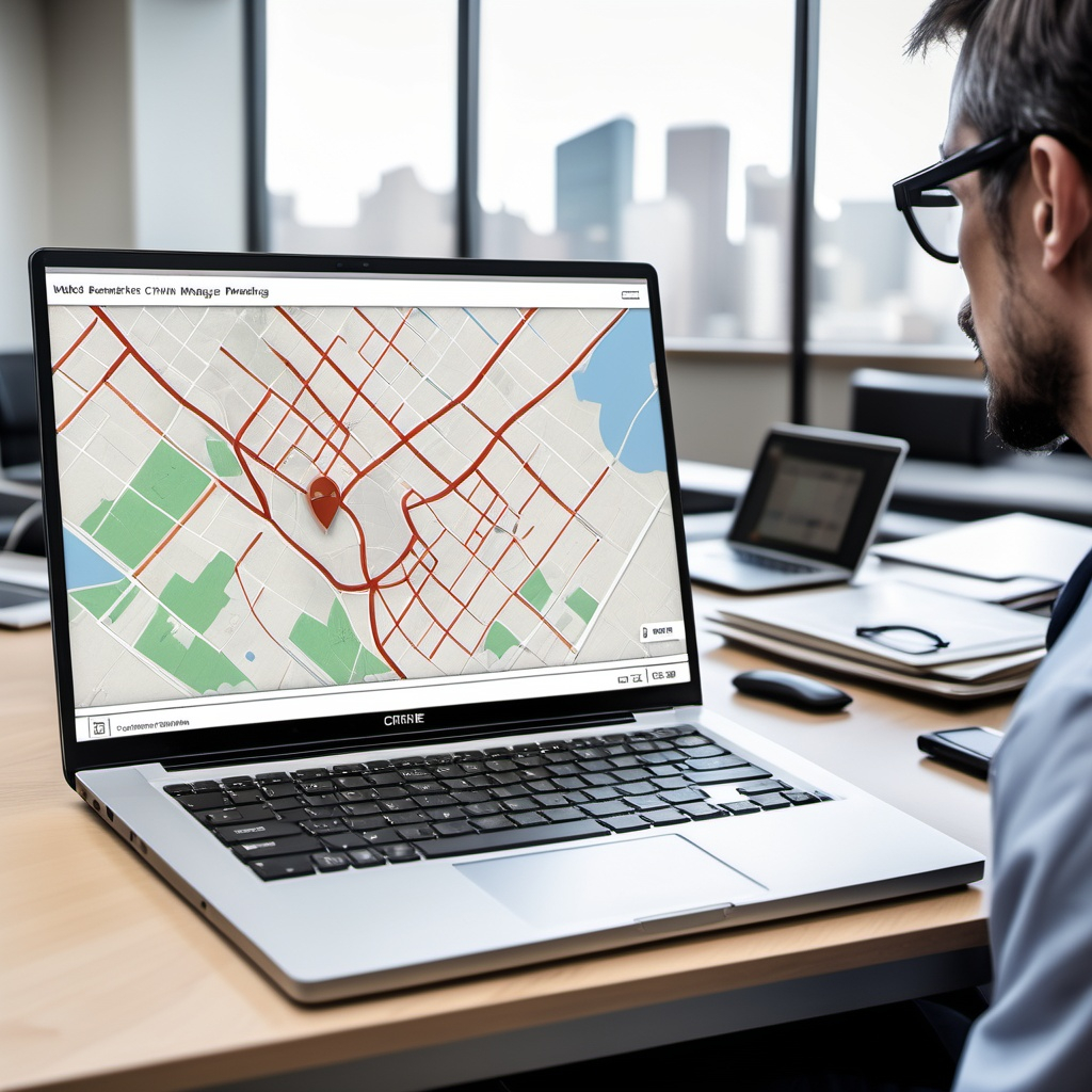
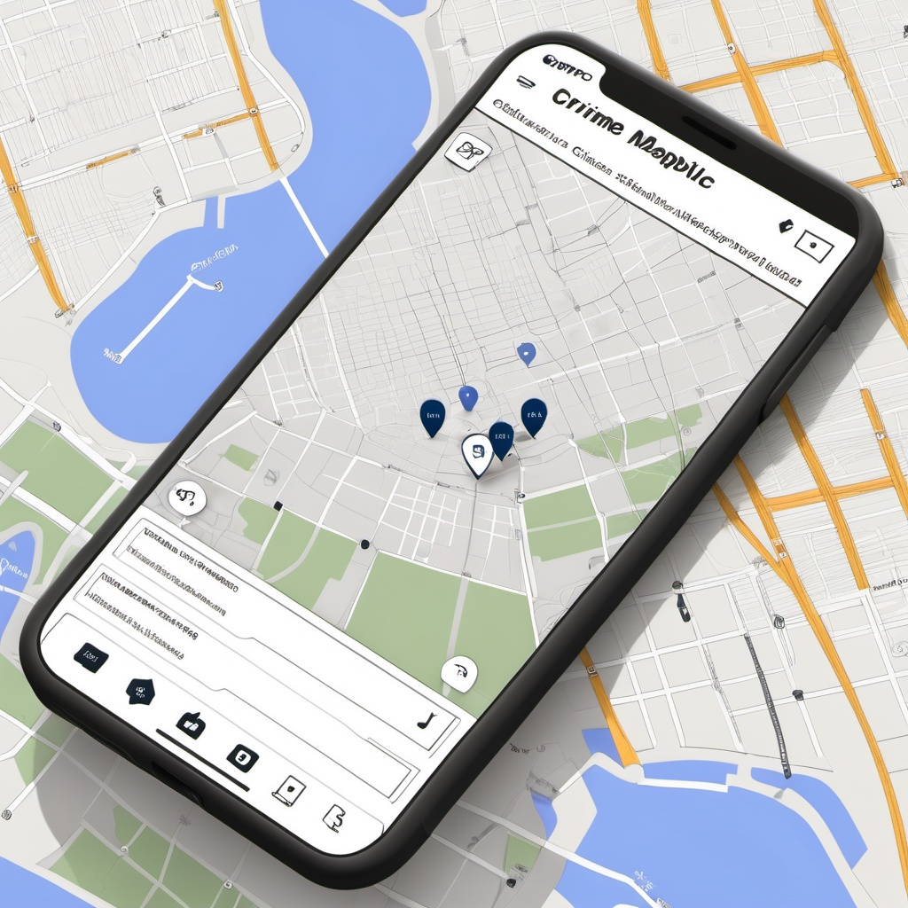
The Collaborative Crime Mapping Solution project, developed by Global GeoSoft, was a groundbreaking initiative aimed at enhancing crime prevention strategies for the Ministry of Public Security in Quebec. The project involved creating a GIS-based platform that enabled law enforcement agencies to visualize crime patterns, analyze trends, and collaborate more effectively across jurisdictions.
- Clients Detail
- Sevices Provide
- Project Timeline
- Location
- Ministry of Public Security, Quebec
- GIS Consulting Services
- 90 days for Completions
- Quebec, Canada
Projects Detail
The platform provided real-time crime data visualization, allowing officers to identify hotspots and predict potential criminal activity. This was achieved through the integration of historical crime data, social demographics, and environmental factors. The solution also facilitated inter-agency collaboration by enabling different law enforcement units to share information and coordinate their efforts. This collaborative approach significantly improved response times and resource allocation, leading to a marked reduction in crime rates in key areas.
The project also emphasized user training, ensuring that officers could fully utilize the platform’s advanced features. Global GeoSoft conducted several workshops and training sessions to familiarize law enforcement personnel with the system, making it a valuable tool in their daily operations.
The Collaborative Crime Mapping Solution project undertaken by Global GeoSoft for the Ministry of Public Security (MSP) in Quebec, Canada, was designed to revolutionize crime prevention and law enforcement strategies. The project aimed to create a robust, GIS-based platform that would allow law enforcement agencies to visualize, analyze, and respond to crime patterns more effectively. By integrating a wide range of data sources, including historical crime data, demographic information, and environmental factors, the system provided a comprehensive view of crime trends across the region. This holistic approach empowered officers to predict and preempt criminal activity, improving public safety.
One of the standout features of the platform was its real-time data visualization capabilities, which allowed for the immediate identification of crime hotspots. This was particularly valuable in urban areas where crime patterns could change rapidly. The system also enabled the MSP to overlay crime data with other critical datasets, such as socioeconomic status or police resource allocation, providing a deeper understanding of the factors contributing to crime. This multi-layered analysis supported more informed decision-making, enabling law enforcement agencies to deploy resources more strategically and efficiently.
Collaboration was another key component of the project. The platform was designed to facilitate information sharing between different law enforcement units, breaking down silos and fostering a more coordinated approach to crime prevention. This was achieved through a secure, user-friendly interface that allowed officers from different jurisdictions to access and contribute to a shared database. The result was a more unified effort in combating crime, leading to improved outcomes in terms of both crime reduction and community trust in law enforcement.
Global GeoSoft provided extensive support throughout the project, including user training and ongoing technical assistance. Workshops were held to ensure that all users were fully equipped to utilize the platform’s advanced features. The project’s success not only enhanced the MSP’s crime-fighting capabilities but also set a new standard for how GIS technology can be leveraged in law enforcement. The collaborative crime mapping solution now serves as a model for other regions looking to adopt similar technologies to enhance public safety.
GIS Application Development Consultation
Global GeoSoft provided comprehensive consultation services, helping the Ministry of Public Security design and implement a tailored GIS solution that addressed their specific needs. This included advising on data integration, system architecture, and user interface design to ensure that the platform was both effective and user-friendly.
Our Other Project
- Collaborative Crime Mapping Sol.
- Geo-Collaborative Epidemic Control
- Disaster Response and Management
- GIS-Driven Urban Expansion
- GIS-Enhanced Cooperative Work
- Railways Assets Mgmt. System