Disaster Response Mapping for Emergency Services
Emergency Response And Disaster Mapping: Explore Our Portfolio: Showcasing Success Stories in GIS & Web GIS Innovation and Development.


Portfolio
Disaster Response Mapping for Emergency Services: Enhancing Preparedness with Geospatial Insights
Global GeoSoft partnered with Ontario’s Emergency Management Agency to create a GIS-based Emergency Response And Disaster Mapping system designed to enhance emergency preparedness and response strategies across the province. This project utilized cutting-edge geospatial technology to provide real-time data and actionable insights for disaster management teams.
- Clients Detail
- Sevices Provide
- Project Timeline
- Location
- Emergency Management Agency
- Customized Web GIS Disaster Management App.
- 90 days for Completions
- Ontario, Canada
Projects Detail
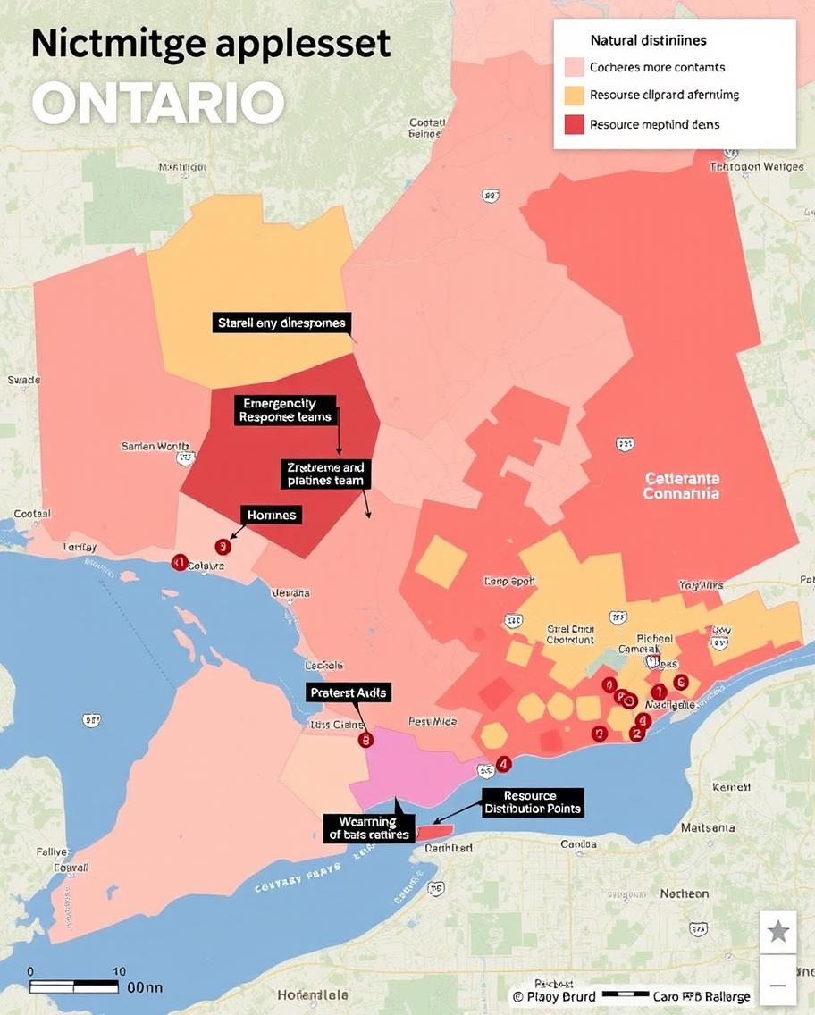
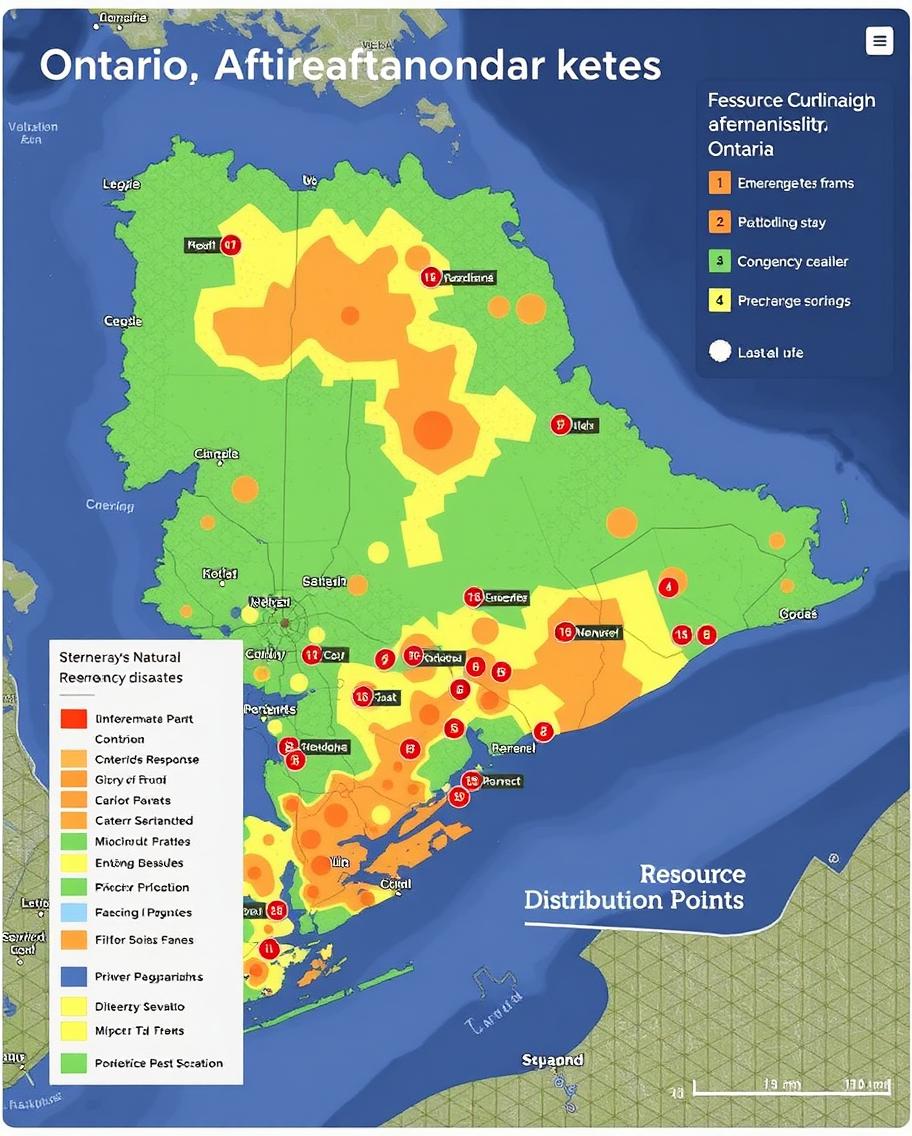
The Emergency Response And Disaster Mapping project aimed to develop a comprehensive GIS platform that integrated remote sensing data, real-time updates, and spatial analysis tools. The system allowed emergency teams to visualize disaster-prone areas, plan evacuation routes, and allocate resources effectively.

By incorporating layers such as flood zones, wildfire risks, and critical infrastructure, the platform enabled quicker and more informed decision-making during emergencies. The project Emergency Response And Disaster Mapping also included training sessions for emergency personnel, ensuring that they could fully utilize the GIS tools during disaster situations.

The Emergency Response and Disaster Mapping project, undertaken by Global GeoSoft, was a pivotal initiative to strengthen Ontario’s emergency preparedness and resilience. The primary goal was to create a GIS-based platform that could provide real-time, actionable data to disaster management teams across the province. By integrating various data sources, including satellite imagery, meteorological data, and on-the-ground reports, the platform offered a comprehensive view of disaster-prone areas, thereby facilitating informed decision-making. This allowed emergency teams to visualize potential threats and deploy resources more effectively, significantly reducing response times during crises.
One of the key features of the Emergency Response and Disaster Mapping platform was its ability to model and simulate disaster scenarios. By leveraging advanced spatial analysis tools, emergency teams could predict the spread of wildfires, flooding patterns, and other natural disasters, providing critical insights that enhance planning efforts. The platform also included layers that highlighted critical infrastructure, such as hospitals, schools, and evacuation routes, enabling teams to prioritize their response efforts based on real-time data. This holistic approach ensured that all aspects of disaster management, from early warnings to resource allocation, were comprehensively covered, ultimately saving lives.
In addition to its robust technical capabilities, the Emergency Response and Disaster Mapping project also focused on user training and system scalability. Global GeoSoft conducted several interactive training sessions with emergency personnel to ensure they were well-versed in using the GIS tools effectively during actual disaster events. The Emergency Response and Disaster Mapping platform was designed to be scalable, allowing for the seamless integration of additional data sources and tools as the needs of the emergency management agency evolved. This project not only enhanced Ontario’s disaster response capabilities but also set a new standard for GIS-based emergency management systems, empowering agencies to act swiftly and efficiently in the face of adversity, ultimately fostering community resilience and safety.
GIS Application Development Consultation
Global GeoSoft provided in-depth GIS Application Development Consultation to Ontario’s Emergency Management Agency. This consultation focused on selecting the right tools, integrating real-time data, and customizing the GIS-based Emergency Response And Disaster Mapping platform to meet the specific needs of disaster response teams. Global GeoSoft’s experts also advised on best practices for data management, security, and user training to ensure the platform’s long-term success.
Our Other Project
- Collaborative Crime Mapping Sol.
- Geo-Collaborative Epidemic Control
- Disaster Response and Management
- GIS-Driven Urban Expansion
- GIS-Enhanced Cooperative Work
- Railways Assets Mgmt. System
